


As I keep saying, respect all the warnings tonight. We're almost done with this system but not quite. Now Middle Tennessee is. I saw NWS Nashville posted pretty much celebrating that they could give the all-clear to their counties.

2:08 AM - And the severe thunderstorm warning was just reissued for Northeast Cullman County and many points North and East. So will post that polygon above soon as I can grab the latest radar update image.

The new polygon is pretty similar to the one that just expired. People need to stay inside, away from windows. And since tornadoes can develop quickly in these storms, ideally people need to be in a small interior room (even a hallway is fine) on the lowest floor of a sturdy house, rather than in a mobile home.
2:12 - I notice that a severe thunderstorm warning has been extended to include LaFayette across the Georgia line for 60 mph wind gusts. And I know of one reader I've got over that way. So heads up on that, not showing signs of a tornado, but a thunderstorm that could produce damaging winds.
2:14 - The tornado warning no longer affects Jackson County, just Dekalb County. While the signature is not the strongest right now, I'd stay sheltered and respect the warning . . . even if a tornado is not there, the winds are fierce in this area, which is under a severe thunderstorm warning too. And . . .
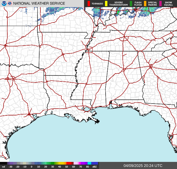
They just cancelled the tornado warning for Dekalb, before I even got the radar uploaded above, the image of the polygon. So that one didn't last long.
Will hang out here and post updates on the other storms ongoing that are showing signs of being severe.
2:19 - Ok wait, conflicting information. James Spann said they cancelled Dekalb County's tornado warning. But I've yet to see that from the actual NWS Huntsville stuff. So he might have made a mistake. It happens to the best of us.
Either way I'd stay sheltered from the severe thunderstorm warning in that area - rough winds tonight. And that's another rural place where people know to trust their instincts. If the weather is threatening, take shelter, don't worry about whether a tornado warning for a "quick spinup" is still on the board or not. And they do issue severe thunderstorm warnings for a reason you know . . . especially if it carries a tag that a tornado could possibly develop quickly.
2:21 - Ok Spann got it right, they did cancel it. The tornado warning. Same area remains under a severe thunderstorm warning.
Think I'll start a new post now with the latest severe weather statement on that large polygon from Cullman County up through Northeast Alabama.
2:23 - I don't see any severe weather statements on those warnings at this point. So just going to hang out here and post updates as needed for now.
That warning for Cullman County (basically the whole county) expires in five minutes anyway, so they may be reissuing that soon. That'd be worth a new post.

Madison County has been cleared from the Tornado Watch. So no more severe weather threat for Huntsville for many days to come. Isn't that a great feeling after this past week . . . I can see why NWS Nashville sounded so celebratory on Twitter/X. They had a hellish night the other night when those supercells just kept training over the same areas, even had tornado signatures showing up around Nashville, actual city.
2:26 - And they have reissued the Cullman warning. So will go post it separately now.
Tornado Warning
ALC049-071-060745-
/O.NEW.KHUN.TO.W.0031.250406T0701Z-250406T0745Z/
BULLETIN - EAS ACTIVATION REQUESTED
Tornado Warning
National Weather Service Huntsville AL
201 AM CDT Sun Apr 6 2025
The National Weather Service in Huntsville Alabama has issued a
* Tornado Warning for...
South central Jackson County in northeastern Alabama...
Central DeKalb County in northeastern Alabama...
* Until 245 AM CDT.
* At 201 AM CDT, a severe thunderstorm capable of producing a tornado
was located over Powell, or near Rainsville, moving east at 40 mph.
HAZARD...Tornado.
SOURCE...Radar indicated rotation.
IMPACT...Flying debris will be dangerous to those caught without
shelter. Mobile homes will be damaged or destroyed.
Damage to roofs, windows, and vehicles will occur. Tree
damage is likely.
* This dangerous storm will be near...
Sylvania, Powell, and Rainsville around 205 AM CDT.
Fort Payne around 210 AM CDT.
Other locations impacted by this tornadic thunderstorm include
Dutton, Pine Ridge, Mentone, Desoto State Park, Valley Head,
Hammondville, and Little River Canyon NP.
PRECAUTIONARY/PREPAREDNESS ACTIONS...
TAKE COVER NOW! Move to a basement or an interior room on the lowest
floor of a sturdy building. Avoid windows. If you are outdoors, in a
mobile home, or in a vehicle, move to the closest substantial shelter
and protect yourself from flying debris.
Heavy rainfall may hide this tornado. Do not wait to see or hear the
tornado. TAKE COVER NOW!
&&
LAT...LON 3450 8555 3450 8556 3449 8556 3448 8558
3447 8557 3447 8558 3444 8558 3440 8562
3447 8600 3465 8598 3464 8554 3453 8551
TIME...MOT...LOC 0701Z 274DEG 33KT 3454 8590
TORNADO...RADAR INDICATED
MAX HAIL SIZE...<.75 IN
$$
AMP


No comments:
Post a Comment