

FORECAST:
Thursday (High 74, Low 42): Mostly sunny and breezy during the day. Showers and thunderstorms are likely overnight, and a few may be strong, producing marginally severe hail and gusty winds.
Friday (High 64, Low 46): Mostly sunny. Cool and breezy.
Saturday (High 61, Low 40): Sunny. Cool.
EXTENDED OUTLOOK:
Sunday (High 72, Low 36): Sunny.
Monday (High 80, Low 48): Sunny.
Tuesday (High 73, Low 55): Partly to mostly sunny.
Wednesday (High 69, Low 44): Sunny.
NOTES:
Here are the latest tornado surveys from the event that mainly affected us on April 5-6.
The National Weather Service in Huntsville is doing a SKYWARN class in Hartselle tomorrow evening - 6 PM at the Oak Ridge Fire Department.
Last night was the anniversary of the Oak Grove tornado from 1998 that was rated F-5 and killed 32 people, injured more than 250 others.
The National Weather Service in Nashville is doing Weather101 classes online, and tomorrow evening’s class is on rip currents.
DISCUSSION:
At 3:51 PM, latest observations (including looking out the window) show sunny skies in Cullman. The temperature is 66 degrees. The dewpoint is 30 degrees, making the relative humidity 26%. Winds are calm. The pressure is 30.13 inches and steady. The Low this morning was 30. We had our last late-season cold snap.
Also fair skies in Jasper with a temperature of 68 degrees. The dewpoint is 34, making the relative humidity 28%. Winds are variable at 5 miles per hour. The pressure is 30.13 inches and falling slowly. The Low this morning was 32 degrees, exactly at the freezing mark.
It is sunny and 67 degrees in Haleyville. The dewpoint is 26, making the relative humidity 21%. Winds are calm. The pressure is 30.16 inches/997.2 millibars and falling slowly. Kudos to Haleyville, the home of the 911 system, for actually using millibars in the daily local observations. Their Low this morning was 29.
It is mostly sunny and 67 degrees in Huntsville. The dewpoint is 33 degrees, making the relative humidity 29%. Winds are variable at 3 mph. The pressure is 30.14 inches/1020.4 millibars and falling slowly. The Low this morning was 35.
It is partly cloudy and 67 degrees in Nashville. The dewpoint is 28, making the relative humidity 23%. Winds are South at 7 mph. The pressure is 30.12 inches/1019.9 millibars and falling slowly. The Low this morning was 34.
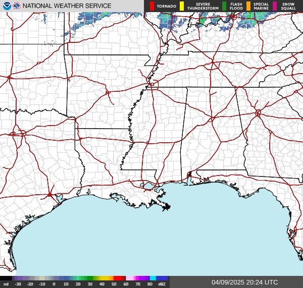
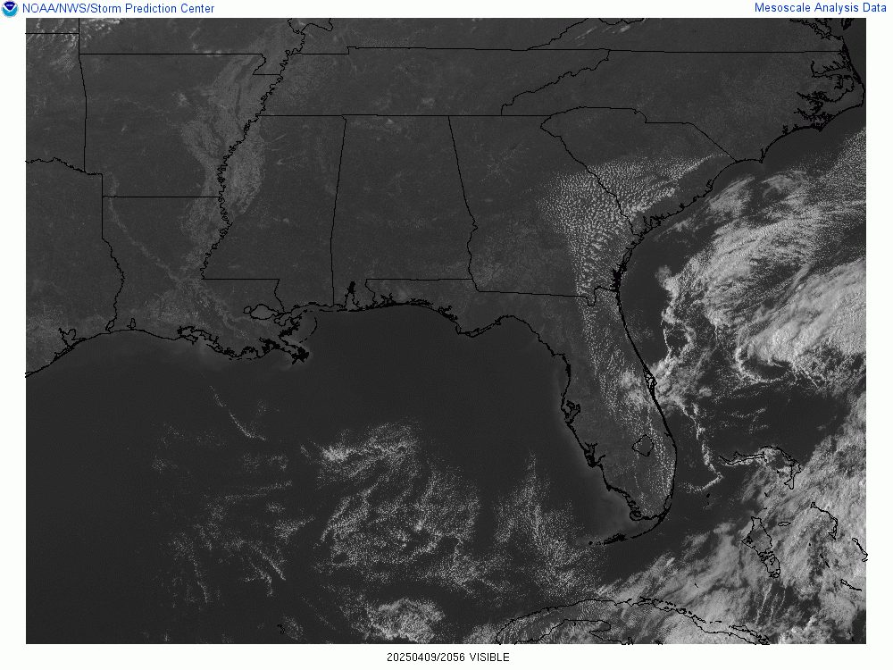
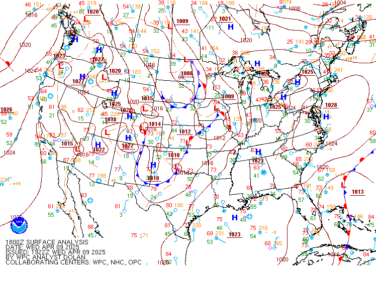
So we basically have high pressure in place over Nashville and a cold front back out over the Plains, stretching up into the Midwest.
(Read the full forecast discussion on Substack. Which also includes a brief audio forecast, allowing randos to snicker at my accent that makes me sound like the kind of guy who would eat ketchup on his eggs.)


No comments:
Post a Comment