

FORECAST:
Valentine's Day (High 55, Low 25): Mostly sunny and seasonably cold. Warm in some lovers' hearts, cold in some others - possibly volatile in a few as well.
Saturday (High 70, Low 48): Thunderstorms likely, especially in the evening and night hours. Some may be severe.
Sunday (High 56, Low 45): Partly to mostly cloudy. Cold and breezy.
EXTENDED OUTLOOK:
George Washington's Birthday (High 45, Low 22): Sunny.
Tuesday (High 52, Low 26): Mostly sunny.
Wednesday (High 48, Low 32): Partly to mostly cloudy with a 40% chance of showers.
Thursday (High 40, Low 24): Mostly sunny.
PRONÓSTICO:
Día de San Valentín (Máxima 55, Mínima 25): Mayormente soleado y frío estacional. Cálido en los corazones de algunos enamorados, frío en otros, posiblemente volátil en algunos también.
Sábado (Máxima 70, Mínima 48): Tormentas eléctricas probables, especialmente en las horas de la tarde y la noche. Algunas pueden ser severas.
Domingo (Máxima 56, Mínima 45): Parcialmente a mayormente nublado. Frío y ventoso.
PERSPECTIVA EXTENDIDA:
Cumpleaños de George Washington (Máxima 45, Mínima 22): Soleado.
Martes (Máxima 52, Mínima 26): Mayormente soleado.
Miércoles (Máxima 48, Mínima 32): Parcialmente a mayormente nublado con un 40% de probabilidad de lluvias.
Jueves (Máxima 40, Mínima 24): Mayormente soleado.
NOTES:
It's a good time to review severe thunderstorm/tornado safety rules. It would be better to be overly prepared for anything that happens Saturday than not to be prepared enough. Don't rely on an outdoor siren to wake you up at night, see the link for more details.
Got a couple SKYWARN classes coming up in Huntsville and Cullman this Tuesday evening. If you can't make it to a physical class, please consider taking one online. Because we need all the reliable spotters out there that we can get. I say "we" even though I'm just another storm spotter who never quite gave up on meteorology after dropping out of college. These classes are conducted by trained professionals who work for the National Weather Service offices in Huntsville and Birmingham. Sometimes local emergency management personnel also are there saying a few words at the beginning and maybe the end of the class. But I think of these people and all storm spotters as being part of the same team.
The National Weather Service in Nashville is having Severe Weather Awareness Day on February 22, a Saturday, so Saturday after this coming one. Several broadcast meteorologists will be there as well as people from NWS Nashville. You do have to register for this event ahead of time, but if you live close to there, hey, it's worth it.
There is a lot of concern going around about possible budget cuts to government organizations like NASA, NOAA, and the National Weather Service (a subset of NOAA). So let me state that we cannot afford to do without these people. In Huntsville, I know that NASA and NOAA/NWS have collaborated to help advance understanding of the weather on Earth and how things in outer space affect it. If you attend any of the events I've just mentioned, you will see for yourself how hard these people work and how much they care about when the weather impacts people in the real world. You can probably figure that out even from one of the online classes, but if you go to a physical one, or this SWAD in Nashville later this month, it will remove any doubt in your mind: These people work hard, and they care. So whatever ends up on the chopping block with the radical changes in our government these days, we need to keep people like this.
Some people worked hard to get us an office in Huntsville again in 2003, something Alabama was sadly lacking in the 1990's. Birmingham used to have to try to cover North Alabama along with all their other counties, and it was a mess. They handled the mess well, but it was still a mess. We've got something good here; let's preserve it.

We have some rivers at flood stage from the rain yesterday and last night. And there was a water rescue.


The cold front has moved to our Southeast, stretching through the Florida Panhandle, Eastern Georgia, and the Carolinas, actually all the way up to just off the East Coast of New England into the Atlantic.
Behind it we have high pressure centered over the Central Plains/Midwest/Mid-South.
And our clouds have started to break in the Tennessee Valley this afternoon. The morning was overcast, and a lot of our reporting stations are still showing overcast skies. I'm seeing sunshine with few fair-weather clouds left around, but the official observation from Folsom Field in Cullman shows skies still overcast with a temperature of 39 degrees. The dewpoint is 34 degrees, making the relative humidity 81%. So far our High for today has only been 41 degrees, by the way. We'll see if we get more "warmth" than that before sunset around 5:30 PM. It's 3:21 PM as I write this. Winds in Cullman are from the North at 10 miles per hour, with higher gusts up to 16 mph. Pressure is 30.38 inches and rising. Visibility is great, a perfect 10 miles.
Jasper is sunny even out there at Bevill Field, where they take the observations. The temperature is 46 degrees with a dewpoint of 32, making the relative humidity 57%. Winds are Northwest at 8 miles per hour, with gusts up to 15 mph. The pressure is 30.40 inches and rising.
Haleyville is still showing up overcast with a temperature of 41, dewpoint of 31, so 67% relative humidity. Winds are from the North at 9 mph. And the pressure is 30.41 inches and rising.
Huntsville is overcast and 41. Nashville is mostly cloudy and 45.


The main focus of this forecast is going to be the next storm system coming at us Saturday, maybe some of the rain starting late Friday night around here. This system will bring a dual threat of more flash flooding issues and also some severe thunderstorms, perhaps a more organized threat of severe than we've seen around here in a while. So we'll look into the details of that potential.
Let's take it day by day.


Tomorrow looks like another mostly sunny day, without starting the day overcast like we did today, a High near 55, Low near 25.


Then Saturday is our main day of interest for this forecast, where we have the potential for fairly organized severe thunderstorms in the Southeast region, a risk that will affect all of the Tennessee Valley (North Alabama into Southern Middle Tennessee).

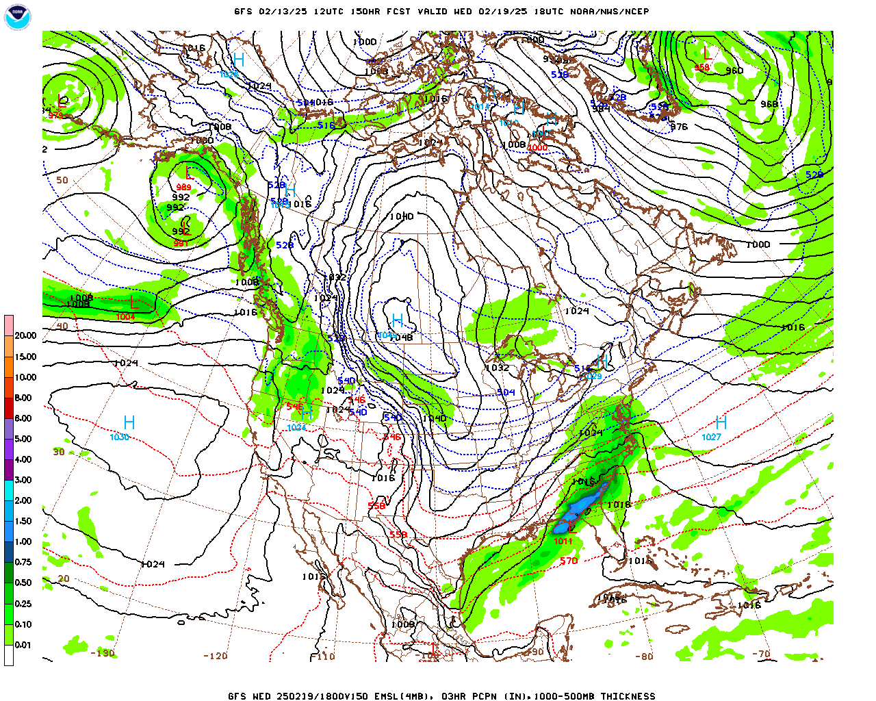
The NAM is showing a slower timing than the GFS. So making a mental note of that. That could give us more time to destabilize, or it could just mean the storms come in during the dark hours and lack a lot of unstable air. We'll look at those details below in the mesoscale discussion. This is just hitting the high points of the basic forecast day to day up here. Thunderstorms are likely Saturday, and some may be severe. Look for a High near 70, Low in the upper 40's. Temperatures are going to rebound quick ahead of this cold front.


We'll clear out efficiently on Sunday as far as any significant rain, but the clouds will probably linger for many of us much of the day. And it'll stay breezy. High in the 50's, Low in the 40's.


Then Monday, President's Day, we'll be sunny with a High in the mid-40's and a Low in the lower 20's.


Tuesday will be mostly sunny with a High in the lower 50's and a Low in the mid-to-upper-20's.
So this is pretty seasonable again.

Wednesday we'll have to watch after all for the potential of wintry precipitation, at least along the Alabama/Tennessee state line.

But if we have any issues like that, it'll probably be late Tuesday night into early Wednesday morning. Most of the day Wednesday after that should be clear. This is a Gulf Low that is going to cause moisture to overspread the area going into the dark hours of Wednesday morning, when we will be flirting with freezing temperatures. For Cullman the Low may be right around 32 degrees, give or take a degree or two. And for folks along and North of the TN line, I would definitely watch for the potential of a wintry mix or even some snow out of this thing. To keep things simple above in the official forecast, for now will just mention a 30-40% chance of showers Wednesday with a High in the upper 40's and Low down near freezing. But this will bear watching after we're through with Saturday's system.

Also worth a note that the European model is showing a slower timing (imagine that) from the American one. And at this time range, it tends to get the timing more reliable. So we could see precipitation during the day Wednesday, will put the chance at 40% which is no change from yesterday's forecast.
The GFS timing of it coming mostly overnight may or may not play out.


Either way, Thursday looks clear and cold with a High near 40, Low way down in the 20's. Some places near and North of the TN border could be dealing with a snowpack, depending on a lot of factors that will have to be assessed after we get to Sunday, behind whatever the storm system brings Saturday/Saturday night.


The Weather Prediction Center is already showing a decent chance of some accumulating snow, at least along and North of the Tennessee state line, by Wednesday and Thursday of next week. So like I say, something to keep an eye on in the long-range part of the forecast.

We may very well see additional flooding issues out of Saturday's system, especially up in Tennessee.

Average rainfall totals should be about two inches for this forecast period, and of course, heavier amounts are possible locally with any thunderstorms that become severe, especially any supercells.
MESOSCALE DISCUSSION:


The latest run of the NAM is showing basically no unstable air available at Midnight between Saturday night/Sunday morning, but screaming wind fields that would be more than enough to support tornadoes if there was any instability to work with.

And it's even showing dewpoints struggling to get to the 60 degree mark. This looks more like a marginal setup you'd see in December, even though the synoptic scale (shown above in the main forecast discussion, position of the front, surface Low, et cetera) looks favorable for organized severe thunderstorms with this.
Usually if the NAM has a bias, it is toward making things look too scary, showing more severe weather in the cards than we actually get. So this is definitely interesting. I expected to see at least a little more instability showing up than this by the time we got to this time-range, a couple of days before the potential event.


The SREF looks a little more believable, with marginal CAPE values struggling to reach 500 j/kg moving into the Tennessee Valley and the really strong Helicity values at the lowest kilometer of the atmosphere.


And even with really meager instability, it is showing some Supercell Composite values and Significant Tornado Parameter values trying to creep into at least Northwest Alabama/nearby parts of Tennessee late Saturday night/early Sunday morning.

Going back to the NAM, it does look like a squall line will be moving into Northwest Alabama at that time.

The HRRR only goes out to Noon Saturday at this point, and while a lot of forecaster swear by it these days, I'm usually skeptical of what it shows. When it gets it right, a lot of times it catches weird things that the other models miss, like I think it picked up on that Waverly, TN flood a few years ago. But more often I've seen it portray a lot of wild goose chases. But I do try to glance at it along with the other models. And all it adds to my thinking here, the look as of Noon Saturday, is that this setup looks messy. It looks like we'll have a squall line at some point Saturday or Saturday night. Most the model guidance makes it look like late Saturday night, but the guidance in the timing and specific mesoscale features just doesn't cut it for me yet, as far as being clear and consistent.


What is clear is the basic idea, that we have a risk for organized severe thunderstorms Saturday/Saturday night areawide.
And the Storm Prediction Center has added an enhanced 30% hatched risk for basically the same area as we discussed yesterday, just adjusted the exact placement of it a little. That does include parts of West/Northwest Alabama. This is the most likely zone for supercell thunderstorms, where the threat of significant damage from thunderstorm winds, hail, or a tornado is greater than in the basic 15% risk (without any hatching). If we see supercells form ahead of the line (or even earlier in the day), this broad area is the most likely zone for that to happen.
And you might notice that lines up somewhat with where the models were showing some unstable air tapping into the very strong wind shear. The people working at the Storm Prediction Center are considering all the model runs and trends leading up to today's. They are looking at this for the whole country, 24/7. And that works a lot better than just looking at the latest model runs and trying to base a forecast off only those.
If the models continue to show a diminished threat for Saturday, then I'll pay attention to that trend, but this setup looks like one of those severe weather potentials that look good synoptically, where wind shear is going to be more than enough, where the question is how much unstable air do we get, and where. A lot of times the models struggle to forecast the exact details accurately even if this happens in November or December. It's not like we never have severe weather in February, but it's the exception rather than the rule. So you have to remember the limitations of Numerical Model predictions and use some common sense and past personal experience when evaluating some of these setups. It looks likely that all of us in the Tennessee Valley will have at least the basic risk for severe thunderstorms Saturday or Saturday night and that it will include some tornado risk, even if that tornado risk ends up being on the lower end for some of us.


These risk areas will need to be fine-tuned through tomorrow and early Saturday morning, but as of right now it looks like if we see an enhanced tornado or damaging wind threat, it'll be in counties like Walker, Winston, Marion, Franklin, Lamar, and Fayette. Might also see more of a threat for large hail in or near those areas under the hatched 30% enhanced risk. It'd be better to take this potential too seriously, and then get a less-serious event, than to downplay it at a time when most people are paying attention to the weather the least. I agree with the SPC outlook. They might have to trim parts of Northeast Alabama to only a marginal risk later on, or they may have to expand the enhanced risk farther North and East. We'll see how things look tomorrow. The important thing is for everyone to have a reliable way to get the warning and a safety plan ready to go even if something does happen around midnight or after.
And you can't stay in a mobile home with a tornado coming. So make plans ahead of time as best you can for where you could go in enough time.
If this ends up being a squall line with only a few damaging wind gusts, I guess that'd be a relief for a lot of people. But there is potential for some organized severe thunderstorms here that could produce a few tornadoes in addition to damaging thunderstorm winds. And especially in that hot zone (currently mainly West-Central Alabama, back through Mississippi and clipping Arkansas/Louisiana), isolated supercell thunderstorms are possible. So any storms that form and track through there could hold together and do fairly significant damage for a long time. And we have to be aware of that possibility too. Usually at this time range, we'd have a pretty clear-cut situation, but this setup is a messier one than most of us would prefer. And we just have to go with a basic risk of severe weather areawide, with a note that some places might get a more significant storm or two - most likely in West-Central or Northwest Alabama.
And like I say, more details will be fine-tuned tomorrow. Hopefully the model guidance is better by then, more consistent and making more sense to the human forecasters. But we don't always get that. And when we don't, we still have to outline the probabilities and do our best with them.
P.S. For anybody who did read the whole thing, the final High for Cullman today was 41 degrees. I predicted a High of 50, but those clouds hung around and kept temperatures down for much of the day. The temperature forecast busted. Guilty as charged. Always trying to do better.


No comments:
Post a Comment