FORECAST:
Friday (High 62, Low 43): Mostly sunny. Cool.
Saturday (High 66, Low 38): Sunny. Cold in the morning, cool in the afternoon.
Sunday (High 69, Low 41): Mostly sunny. Cool.
EXTENDED OUTLOOK:
Monday (High 71, Low 46): Partly to mostly sunny.
Tuesday (High 70, Low 55): Mostly cloudy with a 50% chance of showers.
Wednesday (High 64, Low 56): Gradually decreasing clouds with a 30% chance of showers.
Thursday (High 55, Low 44): Mostly sunny with a 20% chance of a lingering shower.
READING TEA LEAVES:
Friday November 22 (High 53, Low 37): Sunny.
Saturday November 23 (High 55, Low 35): Sunny.
Sunday November 24 (High 56, Low 39): Mostly sunny.
PRONÓSTICO:
Viernes (Máxima 62, Mínima 43): Mayormente soleado. Fresco.
Sábado (Máxima 66, Mínima 38): Soleado. Frío por la mañana, fresco por la tarde.
Domingo (Máxima 69, Mínima 41): Mayormente soleado. Fresco.
PERSPECTIVA EXTENDIDA:
Lunes (Máxima 71, Mínima 46): Parcialmente a mayormente soleado.
Martes (Máxima 70, Mínima 55): Mayormente nublado con un 50 % de probabilidad de lluvias.
Miércoles (Máxima 64, Mínima 56): Nubes que disminuyen gradualmente con un 30 % de probabilidad de lluvias.
Jueves (Máxima 55, Mínima 44): Mayormente soleado con un 20 % de probabilidad de una lluvias restante.
LEYENDO LAS HOJAS DE TÉ:
Viernes 22 de Noviembre (Máxima 53, Mínima 37): Soleado.
Sábado 23 de Noviembre (Máxima 55, Mínima 35): Soleado.
Domingo 24 de Noviembre (Máxima 56, Mínima 39): Mayormente soleado.
NOTES:
Tomorrow will be the anniversary of the 1989 Huntsville Tornado that hit Airport Road. This is one of those that actually dropped out of a Severe Thunderstorm Warning, before it was upgraded to a Tornado Warning. Doppler radar had just come out and was not widespread enough to make tornado detection anywhere near as accurate as it became later.
And we recently had the anniversary of the 2002 Veterans Day Tornado Outbreak. I used to know a woman who survived with some friends by sheltering in a central bathroom, even though an F-3 tornado in Cullman County blew up the house around them. They all got by with only minor injuries.
Some years, this can be a rough month for severe weather. Things look quiet for this forecast period though. If you'd like to educate yourself more about the weather while it's calm, please consider the Weather101 classes from the National Weather Service in Nashville. They are free to take online and are fun if weather interests you. Even if you've got a kid in your family tree somewhere who likes to watch the weather, maybe let 'em know about this. The people who teach these classes tend to be friendly and very open to thoughtful questions. I think it's wonderful how they do these a couple times a year.
We have a full moon coming up tomorrow, the last supermoon of this year, sometimes called the Beaver Moon. We had some supermoons back in August. If the news has got you down lately, it can help to invoke the cosmic perspective, as Neil DeGrasse Tyson puts it. The moon is still a lovely thing to see, better than most of what's on the internet or the tube.
Today is also the anniversary of the launch of Apollo 12, the second mission to the moon in 1969.
The latest episode of the Weatherbrains podcast was an excellent one, the main guest being John Gordon, currently working in Louisville, Kentucky, the guy who a couple of decades ago helped Congressman Bud Cramer get us a National Weather Service office functioning in Huntsville again, better than ever before. These days, he does a lot of outreach, especially about people getting careless and leaving loved ones/pets in situations where they can suffer heatstroke.
FEMA is still making efforts toward the hurricane relief for Hurricane Helene and Hurricane Milton. Franklin Graham's company, the Samaritan's Purse, is taking donations. And so is the Red Cross. While our local weather is peaceful, can be good to keep in mind the people who got socked really hard recently and are still trying to rebuild their lives.
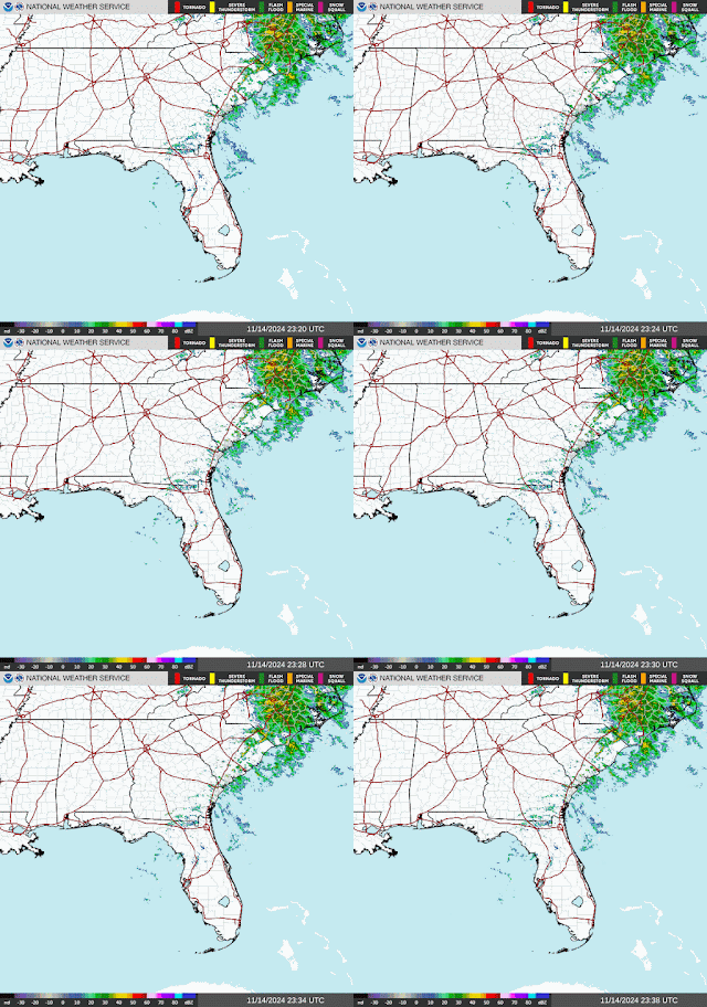
It was partly to mostly sunny and breezy in the Tennessee Valley today, with winds shifting back around to the Northwest. The High in Cullman was 66, and the Low was 55 this morning. We'll get cooler than that before Midnight (and a new day), but I'll leave such details for the official weather archivists. The High in Jasper was 70. They also had a good bit of fog this morning. It only got up to 63 in Haleyville today. Huntsville made it up to 66 degrees. And Nashville saw a High of 61 today. The Music City stayed overcast.
That front that brought us this cooler, drier air is occluding as it moves to the East. Behind it, we are in for some fairly strong high pressure for the next several days.
The center of high pressure will be moving through the Midwest and into the Ohio Valley through tomorrow. We'll see mostly sunny skies around here with a High of about 62-63, Low of about 42-43 tonight/in the morning. Winds should become light and stay from the North.
Then on Saturday, the GFS is showing the pattern splitting into two anticyclones, one up in the Ohio Valley, the other over in Georgia and South Carolina. The weather around here looks sunny and cool, with the morning actually starting off cold, Low near 40 or more likely upper 30's for some of us, then warming to about 65-66 in the afternoon for the High.
Then on Sunday, our main high pressure system is moving into the Atlantic Ocean while another high pressure system is moving through the Midwest. We should be mostly sunny around here with a High near 70, Low near 40, give or take a couple degrees.
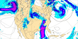
On Monday a low pressure system and cold front will be moving through the Plains.
And parts of Texas could see some severe thunderstorms with this between Sunday and Monday.
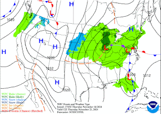
Here is a better look at that frontal system and low pressure system on classic weather maps. The raw model data can look like gibberish to people sometimes. Notice some snow going on up in the Pacific Northwest on Monday too.
Here in the Southeast, around Cullman, we'll have mostly sunny skies again, a High of about 70 or so, a Low rebounding to the mid-40's.
The GFS is showing somewhat limited moisture around here from the system on Tuesday.
The ECMWF suggests more decent rain chances.
And I think the ECMWF has it right here. We'll see about a 40-50% chance of rain around here Tuesday, and I think most of us just see a cool rain, can't rule out an isolated thunderstorm. But as far as any concerns people had about severe weather, I don't see anything that suggests that happening (around here) at all. The surface Low is expected to be way up in the Great Lakes region/Midwest, and the setup just doesn't favor stronger storms. It barely even looks favorable for thunderstorms, mostly a setup for a cool rain, which we need. The High should be about 70 degrees and the Low in the mid-50's.
The rain will continue into Wednesday to some extent, at least scattered showers, as the front moves in and things start to cool down majorly. The High should be about mid-60's, Low in the mid-50's.
That front will clear the area late Wednesday into Thursday.
On Thursday we're looking at a High in the mid-50's and Low in the mid-40's, more sun than clouds overall, only a minimal 20% chance of a lingering shower or two.
So we finally have a cold front that means business. And our pattern will be closer to a late Fall, heading toward Winter pattern finally.
And that pattern holds through the next 10 days. Plenty of sunshine next weekend, Highs generally in the lower 50's and Lows in the upper 30's.
And we have Tropical Storm Sara. That tropical disturbance intensified rapidly today to tropical depression and now tropical storm strength. Winds are currently sustained at 40 mph.
A Tropical Storm Warning is in effect for the Northern coast of Honduras, and they may be in for a really rough time from this thing. Flash flooding and mudslides are likely to pose a threat to life, and when the National Hurricane Center uses a term like "potentially catastrophic", I am inclined to take that seriously, in light of what happened in East Tennessee and North Carolina lately. Those mountains can really make a difference. And if you know anybody down that way in the Northern parts of Honduras, please make sure they are aware of this. It especially looks dangerous around the Sierra La Esperanza.
People upstream in Guatemala, Belize, and the Yucatan Peninsula need to watch this system.
And frankly even on the Gulf Coast, I'd still keep a careful eye out, just to be on the safe side. The current official forecast from the NHC calls for this thing to dissipate from its land interaction with the Yucatan. That may happen, but I wouldn't count on it. And if it does survive into the Gulf of Mexico with a defined center intact, then we'll need to watch where it's going. Remember that even a tropical storm, even if it does not strengthen to a hurricane, can be dangerous for the places hit directly, if people are caught off guard and don't know what hazards are on the way.
Our rainfall totals will stay in about the 0.25-0.5 inch range around here for the next 7-10 days, the lighter amounts over the Tennessee counties.
As usual, if any meteorologists or anyone who's good with Spanish find any mistakes in this, please feel free to contact me directly so I can go back and fix something. Or you can just leave a comment, whatever floats your boat.


No comments:
Post a Comment