

Thursday (High 80, Low 50): Sunny.
Friday (High 78, Low 48): Sunny.
Saturday (High 79, Low 47): Sunny.
Sunday (High 81, Low 49): Mostly sunny.
Columbus Day (High 72, Low 53): Mostly sunny.
Tuesday (High 63, Low 46): Sunny.
Wednesday (High 66, Low 39): Sunny.
Before we dive into the details of the forecast, just a reminder that SKYWARN classes are being offered before we get into the month of November, when we typically see an uptick in severe weather around these parts. Not as bad as in the Spring usually, but you do have to be careful. That infamous tornado in 1989 that hit Huntsville happened from one of those November outbreaks. Technically you can have a tornado any month of the year, but for North Alabama up into Tennessee, it's basically March, April, May . . . then again in November. Those are the two main seasons for severe weather. And these classes are free, by the way. Some you can take online.


And that's most of what's been going on, glad to say, people helping each other out. Governor Kay Ivey made a post about already getting ready to help Governor Ron DeSantis for the cleanup and relief efforts after this thing is past. Sometimes you do get to see the best of people with things like this, as well as the worst. It looks like most people who needed to evacuate did evacuate for this. And one thing I thought was awesome was that the local government tried to help the people who had a hard time evacuating. Like that dude who was determined to stay in his boat, which was his only home (disabled veteran, from what I read), the cops let him know that a shelter was available to him. I saw several days ago where several public shelters were opening, and they had a line you could call if you had trouble with transportation to shelter, I believe. And these things sort of balance out the insane stuff.
Winds are currently at 105 knots, which is 120 miles per hour. That's in the eyewall of Hurricane Milton. The minimum central pressure is at 948 millibars, which is 28.00 inches of mercury. That's what we mean about the storm "weakening", and the term being misleading. This is still a fierce hurricane. It is currently considered a Category 3 on the Saffir-Simpson Scale. This one sure does remind me of Hurricane Katrina. We'll see what the impacts are by tomorrow I guess.
Anyway for our local weather, sunny skies again tomorrow, High near 80, Low near 50. Then we're looking at even drier air Friday behind a shortwave trough (dry one), High in upper 70's, about 77-78, Low in the upper 40's, about 48-49. Saturday sunny skies, High about 79-80 and Low in the upper 40's.

Then we get another shot of cool, dry air in the extended period. Sunday will be another day of a High of 80 or so, Low near 50. But then Monday we get a sharp drop in temperatures, High in the lower 70's, Low in the lower 50's, mostly sunny skies.
And then as high pressure settles in behind that dry cold front Sunday/Monday, Tuesday will be sunny with Highs in the lower-to-mid-60's and Lows only in the mid-40's. And then Wednesday, a week from today, looking at mid-60's for the High and a Low near 40, some places, especially in Tennessee, will dip into the 30's. So it's finally going to feel like Fall. Which it is.
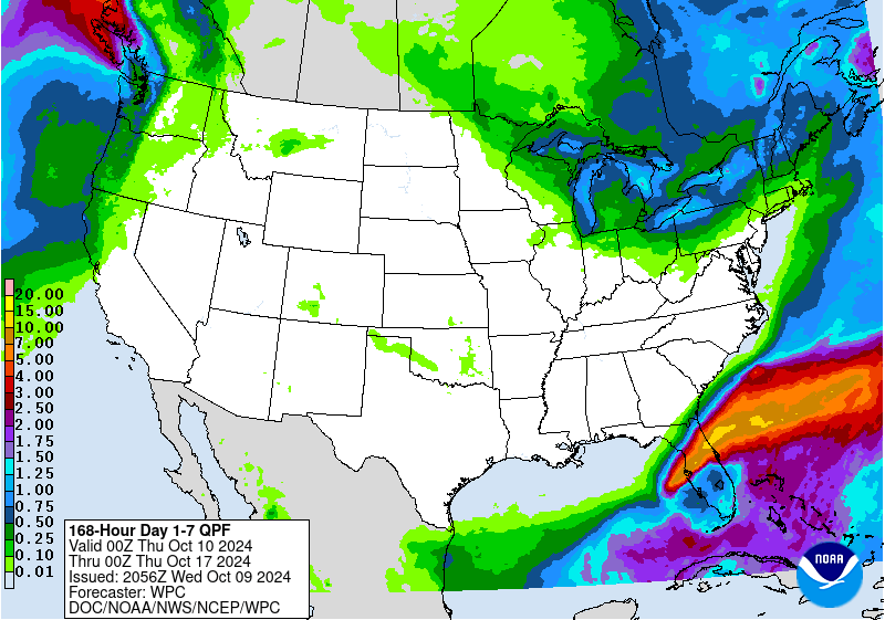
No rain around here any time soon. Obviously a few parts of Florida may be underwater.
5:22 PM Update - Going to add something here at the bottom because I was impressed by some of the tornado videos from Florida already. This has caused quite a tornado outbreak in South Florida before the actual hurricane comes in for more of the Central part of the state. By the way, if you are inland in the path of this eyewall, you should treat it like a tornado when it comes through. Get into a small central room (or hallway) on the lowest floor, away from any windows. Because it is expected to maintain hurricane strength as it moves across the Florida Peninsula. Even if you're somewhere like Orlando, hurricane damage is a very good possibility.
Violent tornado in Hendry County, Florida earlier today. 🌪️
— Dylan Federico (@DylanFedericoWX) October 9, 2024
📸 Powerup Johnson #flwx #Milton pic.twitter.com/MsO45V3Tdb
I don't know that I agree with the "violent" hyperbole, this tornado will probably be rated E/F2-F3. (Which is technically a "strong" tornado. "Violent" means an E/F4-F5.) And I haven't heard of any injuries so far with the tornadoes down there today. But still a great video. And I like the people's raw reactions to the storm, not like watching legacy media where things are more prim and proper.
Fort Pierce tornado a few moments ago. Checking for injuries now. #FLwx pic.twitter.com/LbLQVUHlRQ
— Andrew Colantoni 🚀 (@acolan1006) October 9, 2024
These tornadoes have that wedge shape that you usually see in some of the worse tornado outbreaks but rarely see from tropical rain bands. Some of these will probably do more damage than you'd typically see from a landfalling hurricane. I've said it as many ways as I knew how, this is not an ordinary hurricane, this is one of the worst I've ever seen.
So far today, three Florida NWS offices have issued 133 tornado warnings associated with Hurricane Milton.
— NWS GSP (@NWSGSP) October 9, 2024
Miami - 49
Melbourne - 35
Tampa - 49
Stay safe Florida, we are wishing everyone well. #ncwx #scwx #gawx #cltwx pic.twitter.com/MBy786BXMq
And wow . . . they've had to issue well over 100 Tornado Warnings today.
At least after tonight/tomorrow, this storm will be over with, it will have done whatever it's going to do. And there is a strange sort of relief in just having it over with.


No comments:
Post a Comment