

Wednesday (High 85, Low 65): Partly to mostly sunny. Breezy.
Thursday (High 81, Low 66): Increasing clouds. An isolated shower or thunderstorm is possible at random during the day or night hours.
Friday (High 76, Low 65): Mostly cloudy. Widely scattered showers are possible.
Saturday (High 81, Low 62): Sunny.
Sunday (High 80, Low 53): Sunny.
Monday (High 83, Low 52): Sunny.
Tuesday (High 85, Low 54): Mostly sunny.
We had a mostly sunny day in Cullman with a High of 86 and a Low of 66.


So it's time to adjust the forecast. The computer model projections from a few days ago were way off from how things are actually playing out.
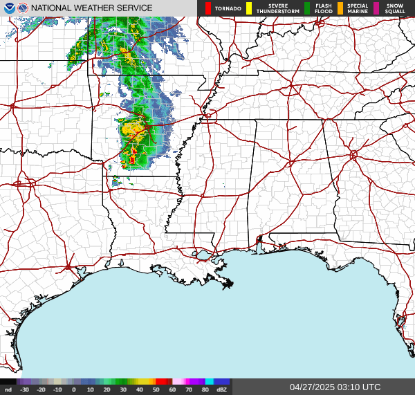
We do have a few isolated showers, mainly in Northwest Alabama this evening, especially there in Marion and Franklin Counties.
The front and its moisture is staying well to our South, and more of the influence on our weather comes from that high pressure in New England.


Tomorrow looks like a mostly sunny and breezy day with a High near 85, Low near 65 tonight/in the morning.
A shortwave trough will be moving through as we get into Thursday and Friday, but it looks like it will mainly impact Central and South Alabama, a lot more than North Alabama.
Thursday looks like clouding up but only a very low chance of an isolated shower or two, so we'll say a 20% rain chance for Thursday, High near 80 or so, 80-82 range, Low in mid-60's.
Then on Friday, the bigger rains probably stay to our South, but we do have about a 30-40% chance of showers up here too, High only making it to about the mid-70's, Low in the lower-to-mid-60's.

Then a second cold front swings through this next weekend. Saturday should be sunny with a High near 80, Low near 60.
Similar weather for Sunday except with a rush of drier air in here, the Low overnight/Sunday morning could get into at least the mid-50's but maybe even lower 50's. Been a while since we've felt that.

Then the end of the period Monday and Tuesday, looks like sunny skies and a High in the lower 80's, Lows in the lower 50's, except on Tuesday we could get back to mid-80's for the High temperature. But we'll be under the influence of high pressure without a source of moisture like in the summer months. Hard to believe it's September already.

We technically have three tropical disturbances in the Atlantic, but the only one I'm sort of keeping an eye on is the tropical wave producing disorganized showers and thunderstorms over Hispaniola and the Caribbean Sea. It is moving West at 20 miles per hour. It is expected to slow down late this week over the Northwestern Caribbean, and either there or early next week when it gets into the Gulf of Mexico, it may very well develop into a tropical cyclone. The other system near the Cabo Verde Islands might develop over the next week or so, but the chance is looking on the low side. That one in the middle, I wouldn't worry about.

Since our rain chances are looking more limited than what guidance was showing a couple days ago (or I guess it's been three days because of the holiday), rainfall totals for North Alabama and into Tennessee are expected to stay light, well below an inch for most places. Down at the Gulf Coast, significant rainfall totals are likely for a lot of folks.
The National Weather Service in Birmingham has already scheduled SKYWARN classes since we typically have another uptick in severe weather potential during the month of November.


No comments:
Post a Comment